2 February
DST science researcher Sara Kinghan, aboard the Aotearoa, is documenting the science team's progress including insights from her personal journey to Antarctica.
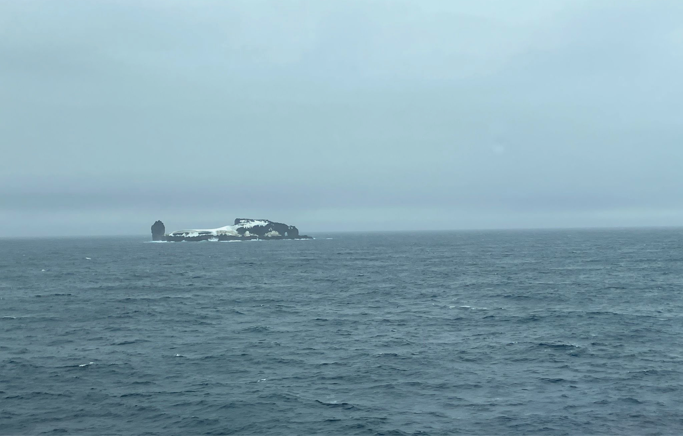
We saw our first iceberg of the trip (more on that below)! And in bigger news we had a successful drop of an acoustic mooring on top of a seamount (a submarine mountain).
The seamount has gained interest from the science community for its unique potential to become a long-term upper ocean observing station due to its proximity to several important polar ocean fronts and the relatively shallow depth (~200 m) on its peak.
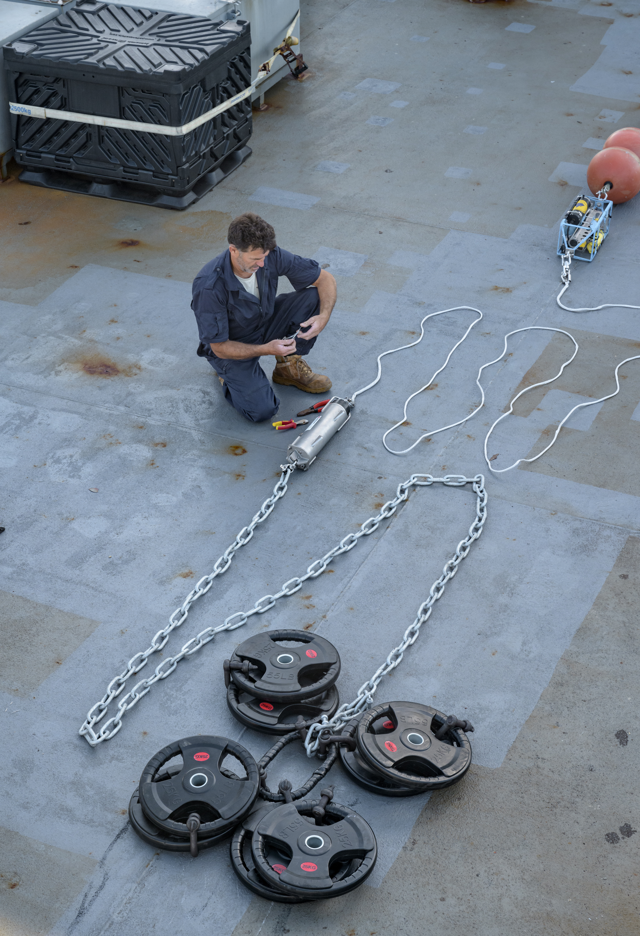
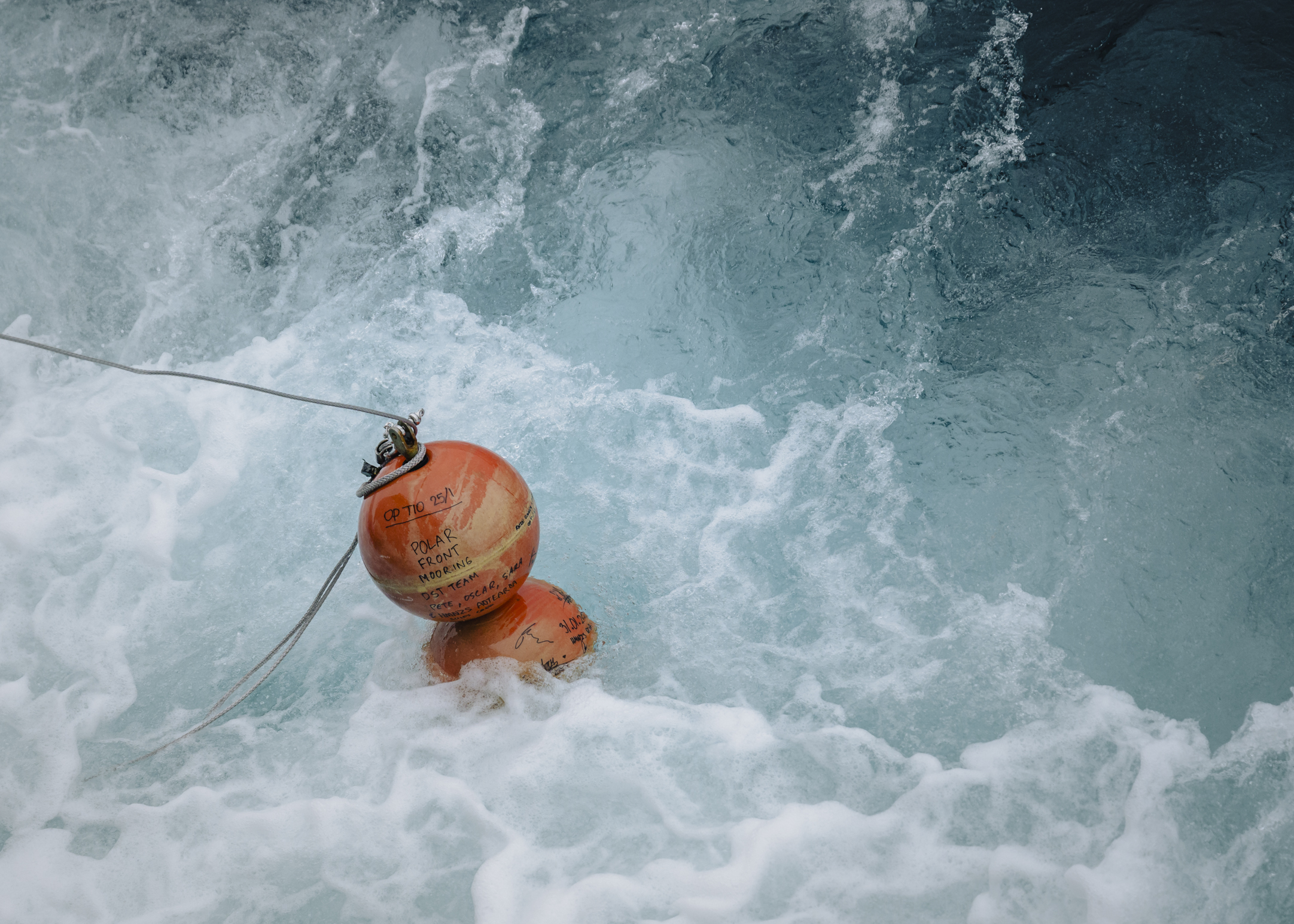
The mooring consisted of an ocean sensor package (acoustics, salinity, temperature), a 250 kg anchor, subsurface buoyancy and an acoustic release for recovery after one or two years.
This activity will allow the establishment of upper ocean observations in a highly dynamic region of the Southern Ocean.
Background on the discovery of the seamount
Building on the success of the DST Southern Ocean Wave Programme, which had recorded the biggest single wave in the Southern Hemisphere at 23.8 meters, a new idea started to brew among the scientists who were keen on that area – the Swell Propagation Project. They came up with an idea involving moored wave buoys stretching across the critical wave generation zone in the Southern Ocean.
Peter (Op Tio 25 science trials leader) looked into bathymetry charts to find the perfect spot for a moored buoy down south—ideally somewhere less than 250 meters deep. After looking through some old NOAA charts, he found a spot depth mark that looked promising. Tracing it back, he discovered it came from a 1971 voyage, where the USNS Eltanin had recorded a depth of 196 meters—which was perfect. Unfortunately it wasn’t marked on any official charts.
The Swell Propagation Project did not go ahead, but there was this amazing opportunity that popped up. They found a potential shallow site in a super deep part of the ocean, right on the edge of the Antarctic winter sea ice. Plus, it sat right on the polar frontal boundary where two different ocean waters meet. It was just too good to ignore.
Peter embarked with HMNZS Aotearoa for Op Tio 22, hoping to confirm the spot depth from 1971 and take a look at the shape of a seamount to see if it could be used for oceanographic studies. But the weather didn’t cooperate, so he reached out to a colleague on the RV Laura Bassi, which was nearby. Peter pitched the idea to them, and they agreed to adjust their course—taking a 7-hour detour—just to check out the area and gather depth readings. After passing over the region, their data revealed a spot with a 600-meter diameter and depths under 250 meters—a rare shallow seabed in the Southern Ocean.
Our current mission, Op Tio 2025, now offered an opportunity to drop an experimental mooring on the peak. An international collaboration was formed that included scientists from DST, Woods Hole Oceanographic Institute (USA) and the Cawthron Institute (NZ), with support from ZebraTech and the NZ Antarctica Science Platform. Together, they came up with and built a custom oceanographic sensor package and a subsurface mooring. They tracked things like acoustic signals, conductivity, dissolved oxygen, temperature, and depth, plus they added temperature sensors across a 100-meter vertical profile.
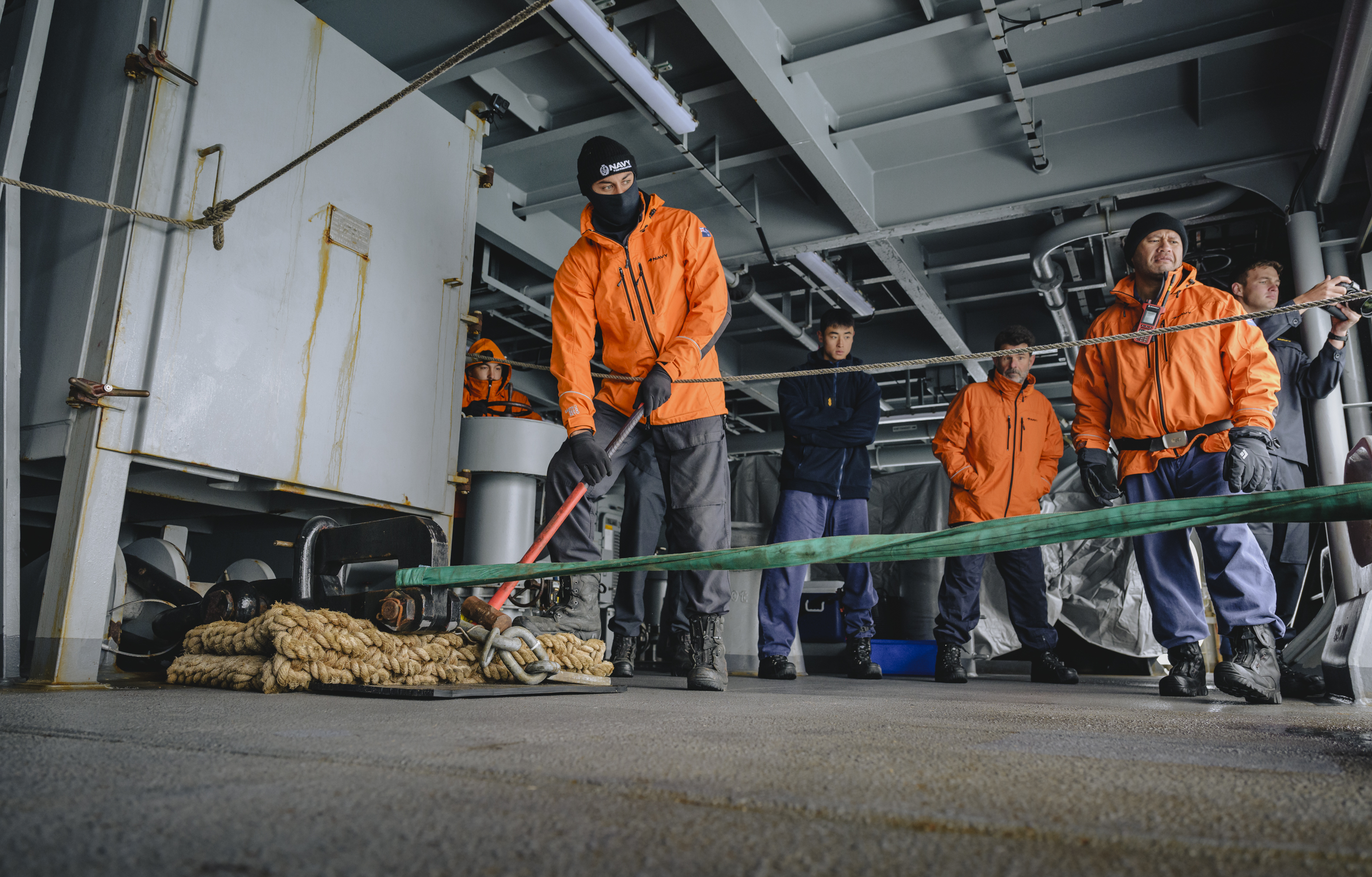
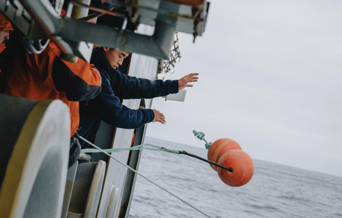
And finally, mooring drop day came. Deployments are standard operations for the Defence Force, so the crew are very experienced in this kind of activity. In the morning, all the gear was set up ready to go and a practice run through was conducted. After lunch the ship passed over the location to confirm the peak and to set our final drop position. There was high excitement on the Bridge as we watched the numbers on the echo sounder rise up from 500 m to just 215 m, then falling again, clearly outlining a well-defined peak. We could see how smooth the top of the peak was and speculated that thousands of years of passing icebergs may have grazed smooth the volcanic peak, and hoped that will not be the fate of our mooring.
Now it’s time for the drop. With the position set and the mooring laid out, it was up to the capable hands of the Bridge team to get the ship into position and the quarterdeck team to stream the mooring out behind the ship. The final step was to release the anchor weight to drop the mooring onto the peak. Steady communication between the teams ensured the mooring was safely deployed, landing within 5 meters of the target location, despite being in 4-meter swells.
With the success of that deployment, the plan is to come back in one years’ time, retrieve the mooring and examine the data. The science team are already planning for another deployment on that peak, with more sensors to monitor waves and currents.
Not too long after this, a member of the Bridge-watch team spotted the first iceberg of the voyage. It was huge!! You could clearly see it from 24 nautical miles away. It was located just slightly starboard off the ship’s head. Everyone onboard got off to get a good look and snap some pictures as we approached and passed by. I thought we might see lots of smaller pieces before we saw anything like that. Word from the Bridge team was the iceberg was approximately 60 - 80m high and 500m long!