14 JANUARY 2025 | OUR SCIENCE
Bridging New Zealand and Antarctica, the Southern Ocean's boundary laps against the south of the South Island. It reaches all the way from Antarctica to the Subtropical Front. This is the boundary where water from the tropics meets water from the polar region.
Understanding their presence and concentration is crucial for improving the accuracy of weather and climate models. Additionally, low-level clouds impact helicopter operations and remotely piloted aerial systems used by the Royal New Zealand Navy.
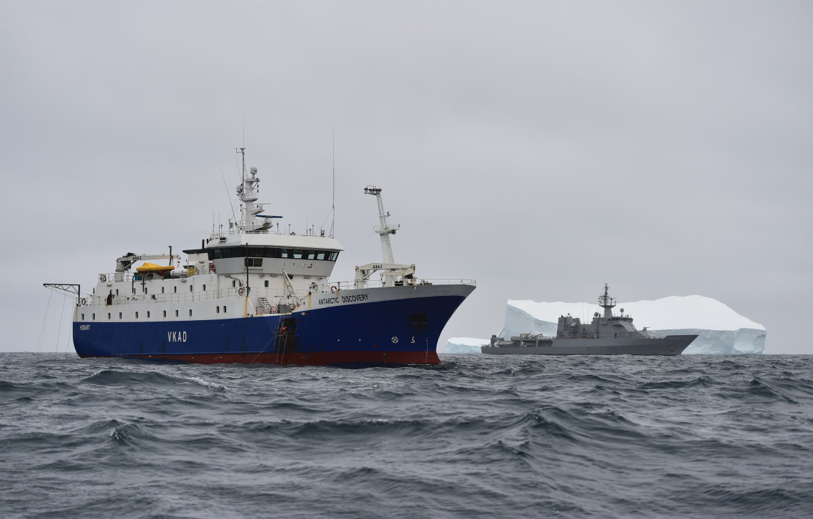
In 2016, Dr Jamie Halla and Sally Garrett from DST collaborated with the University of Canterbury to deploy a ceilometer on HMNZS Wellingon during the ship's mission to the Southern Ocean and the Ross Sea. A ceilometer employs a laser or other light source to measure the height of the cloud base and assess the aerosol concentration in the atmosphere.
Earlier this month, Peter Kuma and others published a paper evaluating three weather models' performance (ICON, MERRA-2, and ERA5) in modelling Southern Ocean clouds. The study compares the modelled outputs against approximately 2,400 days of observations, and included the data collected from the ceilometer that was deployed on the HMNZS Wellington.
VIEW THE PAPER HERE: Ship-based lidar evaluation of Southern Ocean clouds in the storm-resolving general circulation model ICON and the ERA5 and MERRA-2 reanalyses
Photo c/o NZDF
