20 NOVEMBER | OUR SCIENCE
The Meteorological Society of New Zealand’s Annual Conference is on this week at the University of Auckland and three of Defence Science and Technology's (DST) scientists showcased their research at the event. Below are abstracts from their research.
Jamie Halla | Shallow water bathymetry determined from Hyperspectral Imaging (HSI)
Timely bathymetric surveys are required in both civilian and military applications. Common methods include single-beam sonar, multi-beam echosounder, aerial LIDAR, direct measurement by diver pressure sensor and other traditional survey techniques. These methods are often time-consuming and have large demands with respect to labor, cost and instrumentation.
For Humanitarian Assistance and Disaster Relief (HADR), the timeliness and accuracy of the bathymetric survey are of the utmost importance. As such, there is an operational requirement for Rapid Environmental Assessment (REA) of bathymetry to enable safe passage of landing craft, boats, and divers in the shallow littoral zone.
This presentation introduces the HSI concept and describes the theory of utilizing this technique to determine shallow water bathymetry. Next, by using HSI data from the Sentinel-2 satellite, the shallow water bathymetry was determined for two distinct coastal areas (NZ, Australia). Finally, the shallow water bathymetry was also determined using data from an unmanned aerial system (UAS) from the Australian location. The satellite-derived and UAS-derived bathymetry were compared to LIDAR results previously determined for the area. These results will determine whether DST’s current HSI-UAS system can be used to provide timely and reliable shallow water bathymetry within a reduced timeframe.
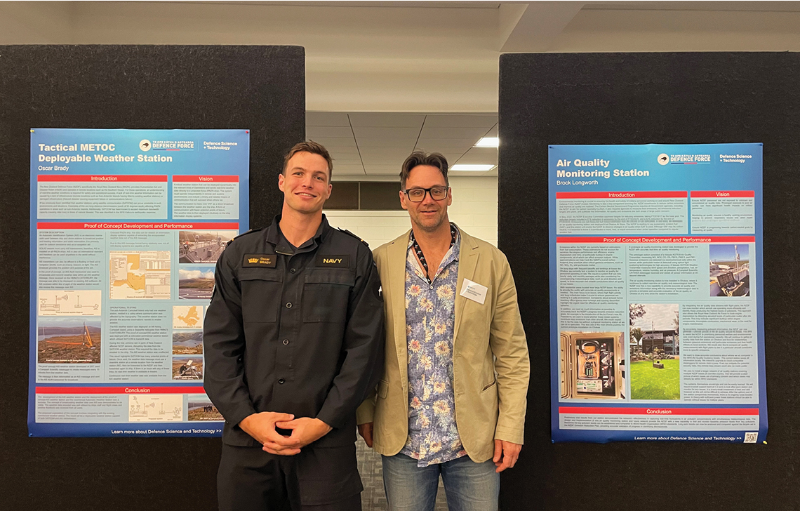
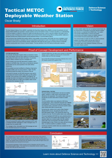
Oscar Brady | DST AIS METOC Deployable Weather Station
The New Zealand Defence Force (NZDF) routinely operates in remote locations and in extreme weather conditions. Humanitarian Aid and Disaster Relief (HADR) missions and operations in locations such as Campbell Island demand accurate, relevant, and real-time weather observations for operational decision-making. These observations are used to plan the use of helicopters, small boats, and land vehicles.
Resilient and reliable communications are vital to ensuring weather observations are available in theatre for NZDF units and communicated to broader meteorological networks. In remote locations SATCOM is primarily used; however, this system can be vulnerable to many external factors. For example, during the 2016 Kaikoura Earthquake MetService could not get data from their weather stations in the area as GSM was unavailable and SATCOM backup was overloaded. As a result, NZDF units did not have access to weather observations when operating in the area. This created risk for critical activities such as helicopter evacuations.
An Automatic Identification System (AIS) is an electronic and automatic marine VHF radio used between ships and between ship and shore stations. AIS uses a direct broadcast to disseminate live information over line of sight at variable time intervals. This data would usually include information about vessels (Name and identification, position, speed over ground, etc.). However, recent developments allow weather data to be sent over new ‘application-specific’ AIS messages.
DST developed a deployable weather station that communicated using AIS. The station measured live weather conditions, processed the raw data into WMO standard measurements over a set interval (e.g., 10 mins), and transmitted it over AIS.
This proof of concept was deployed by DST at Campbell Island in February 2023. The system was deployed to the peak of Mt Honey via helicopter, based of Royal New Zealand Navy ship. Once the system was setup, live data was received and displayed on the ship. The reliability of the AIS station was compared to data from a collocated weather station which used SATCOM.
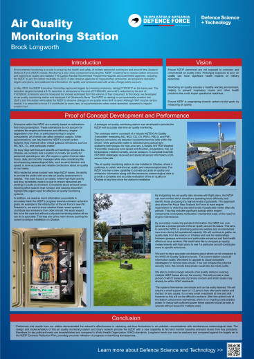
Brock Longworth | An Integrated Air Quality Monitoring Network for the New Zealand Defence Force
Click on the image to learn more.
Defence Science & Technology has recently designed and developed an air quality monitoring network tailored for the New Zealand Defence Force (NZDF). The network provides a method of tracking gaseous emissions and particulate matter to evaluate the NZDF’s progress in achieving its Emissions Reduction Plan. The network will integrate realtime measurement capabilities for NO, NO2, CO, O3, PM1, PM2.5, and PM10 pollutants with simultaneous recordings of meteorological data.
The air quality monitoring network will consist of a series of air quality monitoring stations. Each station uses a Vaisala air quality transmitter calibrated to detect targeted pollutants accurately. Gaseous emissions are detected via electrochemical cells within the sensor, whilst particulate matter is detected using optical light scattering technologies for high levels of accuracy. Meteorological data such as temperature, humidity, wind speed, and direction are recorded simultaneously from a Vaisala weather station to provide contextual information for air quality variations.
Preliminary results demonstrate the network's effectiveness in capturing real-time fluctuations in air pollutant concentrations. Accurate air quality and meteorological measurements gathered by our network provide the NZDF with a new capability. NZDF can now establish baselines for key pollutant levels and compare them to World Health Organisation (WHO) standards. Long-term trends will be analysed and compared against the targets set in the NZDF Emission Reduction Plan to protect NZDF personnel and the environment.


